 6°C
6°C
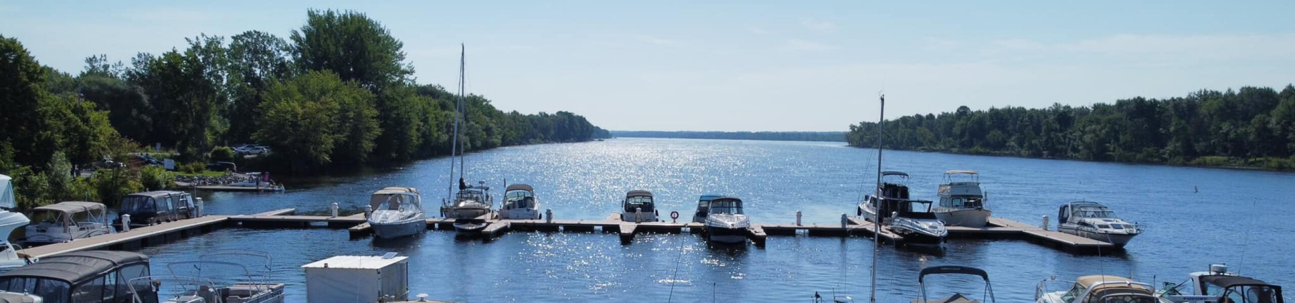
Ottawa River Info-Guide
A few facts about the river
- The Ottawa River, officially designated as a historic site.
- The river is 1,271 km long, the longest in Quebec.
- Distance between Gatineau’s Kitchissipi marina and Sainte-Anne-de-Bellevue 147 km.
See our checklist for popular anchorages.
Popular anchorages
Reminder: It’s good etiquette for the skipper to avoid making a wave in the presence of boats at anchor.
Upper Duck Island (ON)
About 20 minutes from Gatineau’s Kitchissipi Marina.
This anchorage on the south side of Upper Duck Island, across the main shipping lane, is popular for swimming, kayaking and paddleboarding.
Sandbanks are present.
Baie des Gouverneurs (ON)
Located 6 km upstream from the Kitchissipi marina, this urban anchorage allows you to admire the raising of hot-air balloons and the FMG fireworks in September.
Jacques-Cartier Park Bay (QC)
Anchorage located on the Quebec side and opposite Rideau Falls.
A beautiful location 6.5 kms from the Kitchissipi marina for dining and watching the July1st fireworks and the Casino.
Petrie Island (ON)
Located 13 kms downstream from the Kitchissipi marina, this anchorage offers protection from west and south-westerly winds.
This site includes a beach.
A popular spot for kayaking and paddleboarding.
Ile Dubé (QC)
42 kms downstream from the Kitchissipi marina, Dubé Island, also known as the Love Channel to some, offers excellent wind protection.
Baie de la Pentecôte (QC)
Located on the outskirts of Papineauville, this bay is 62 km east of the Kitchissipi marina.
It is accessible via a narrow channel downstream from La Grande Presqu’ile.
Baie des Atocas (ON)
Near the municipality of Hawkesbury, a popular anchorage located 77 kms from Kitchissipi and 34 kms from Carillon.
This bay is located 62 kms east of the Kitchissipi marina.
The bay is accessed by leaving Pointe Filion to starboard.
Baie de l'Orignal (ON)
Neighboring Baie des Atocas, this bay offers protection from southerly winds.
It is 78 km from the Kitchissipi marina.
Rivière Rouge (QC)
The place where the Rouge flows into the Ottawa River is a popular spot for boaters wishing to anchor or moor for the day.
The mouth of the Rouge is 80 km from our marina.
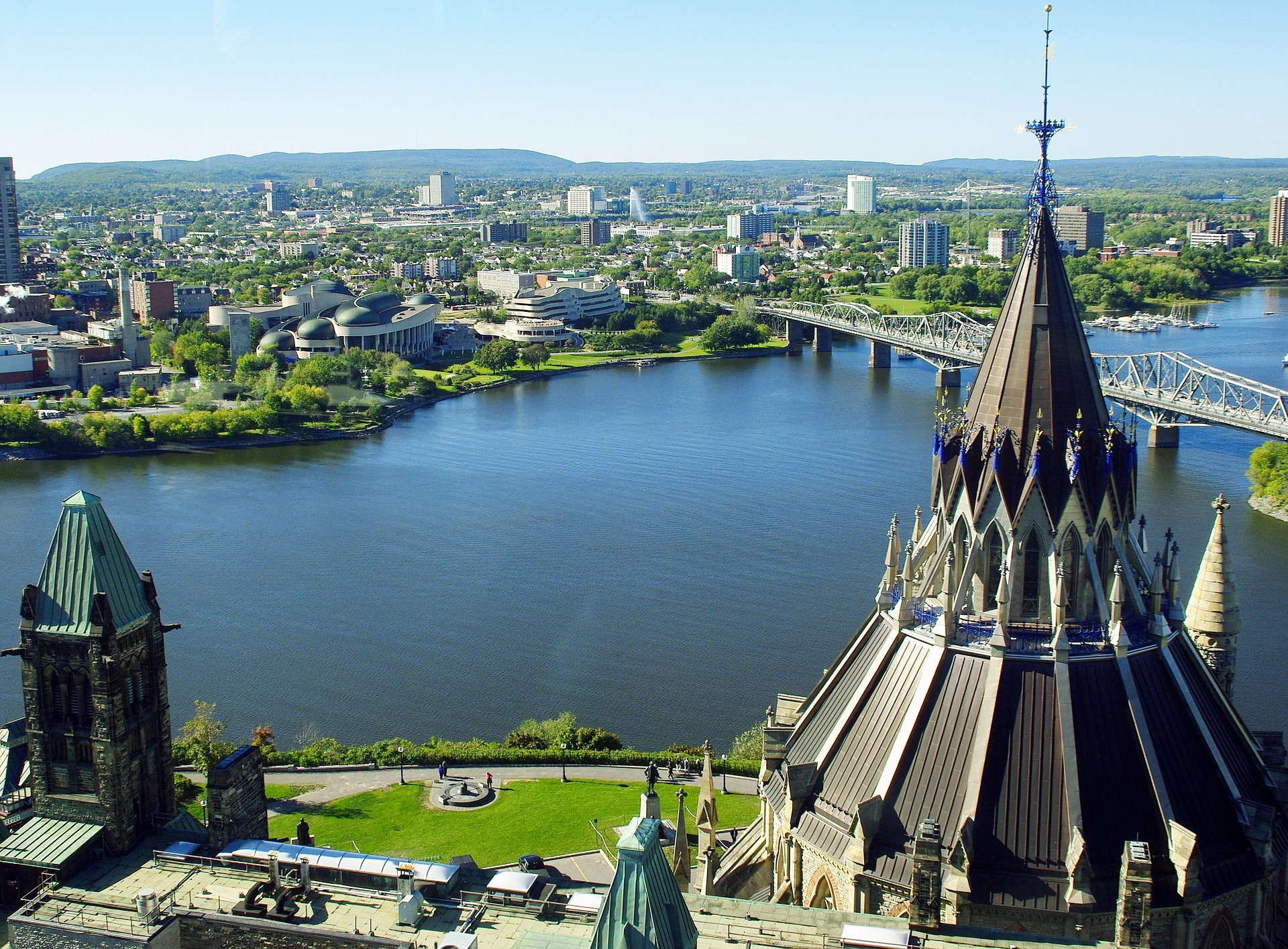
HISTORY OF THE RIVER
Extract from the website of the Ministère de la Culture et Communications du Québec. The Ottawa River is a historic site.
This designation applies to the portion of the Ottawa River that lies within the territorial limits of Quebec, excluding the islands, the river’s tributaries and its watershed.
This historic site is designated for the following reasons: The Ottawa River is the longest river in Quebec.
It was formed by the movement of glaciers and the retreat of the Champlain Sea.
The present riverbed was shaped some 8,000 years ago.
Human occupation of the Ottawa River watershed dates back more than 6,000 years.
During the contact period, several Amerindian groups used the river to travel.
In 1610, explorer Étienne Brûlé was probably the first European to navigate the river.
In 1654, the Outaouais travelled downriver to transport a cargo of furs to Montreal.
The river is named after this Amerindian group.
For the next two centuries, the Ottawa River became the main route for the fur trade.
Forts and trading posts were built along the way.
Explorers such as Pierre-Esprit Radisson, Pierre Gaultier de Varennes and de La Vérendrye, and Alexander Mackenzie also used the river to penetrate the interior of the continent.
Later, canals, reservoirs and other structures were built to facilitate navigation.
In the early 19th century, the first permanent settlements appeared along the Ottawa River, with the installation of Philemon Wright and his associates in Hull Township in 1800, and the acquisition of the seigneury of La Petite-Nation by Joseph Papineau in 1803.
The shores of the Outaouais were occupied in stages, by populations of diverse origins.
In the 19th century, the fur trade weakened in favor of the lumber trade, the driving force behind the economy of Lower Canada.
The Ottawa River was used to transport logs and rafts of squared timber to the ports of the St. Lawrence River, then on to Great Britain and the United States.
Gradually, the logs transiting the river were used mainly in the factories and sawmills that sprang up along its banks.
In the 20th century, the urbanization of certain areas led to new uses for the Ottawa River.
Hydroelectric power stations were built along the river, which was harnessed for the first time in 1907.
The river also supplied some communities with drinking water.
The Ottawa River is thus at the origin of the settlement and economic development of the Quebec region that bears its name.
It has played a decisive role in the history of Quebec, and continues to play an important role in many spheres of activity, including transportation and tourism.